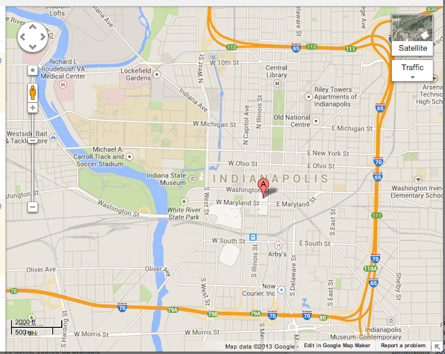
I recently finished a commission for a large-scale map based on Indianapolis. It was an interesting chance to explore a place I knew nothing about. Here’s a breakdown of how the process went. When I learned where they wanted to focus on, I started with a map screenshot for reference:
I traced the rivers and major roads onto watercolor paper, filled in some smaller blocks and colored everything in to make the smaller sketch: 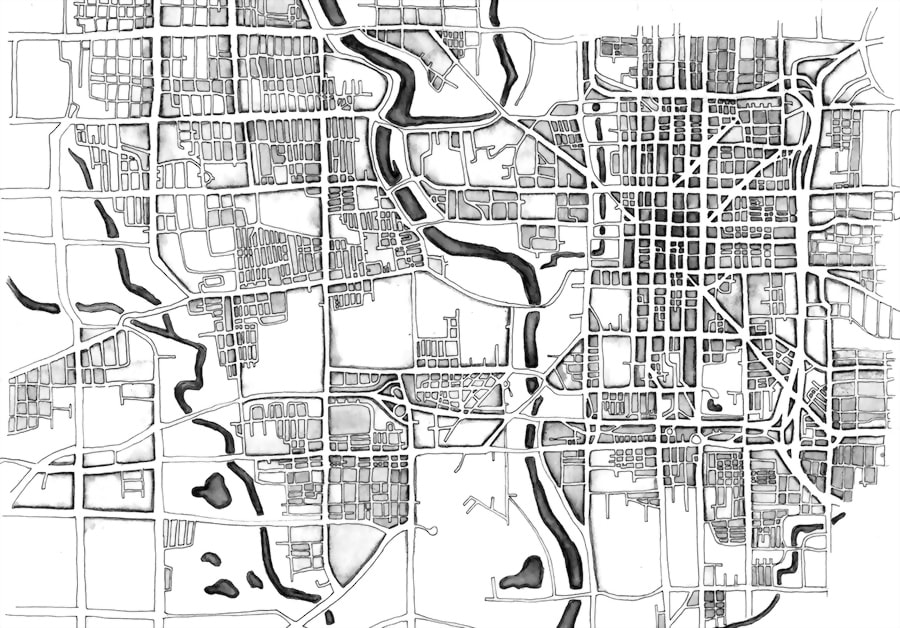
When that was approved I could start transferring it to the large paper. I used the grid method to copy over every line from the smaller sketch. Here’s the pencil drawing in progress (it takes up my entire drawing board!): 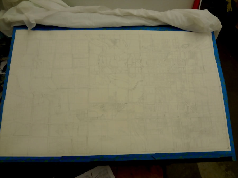
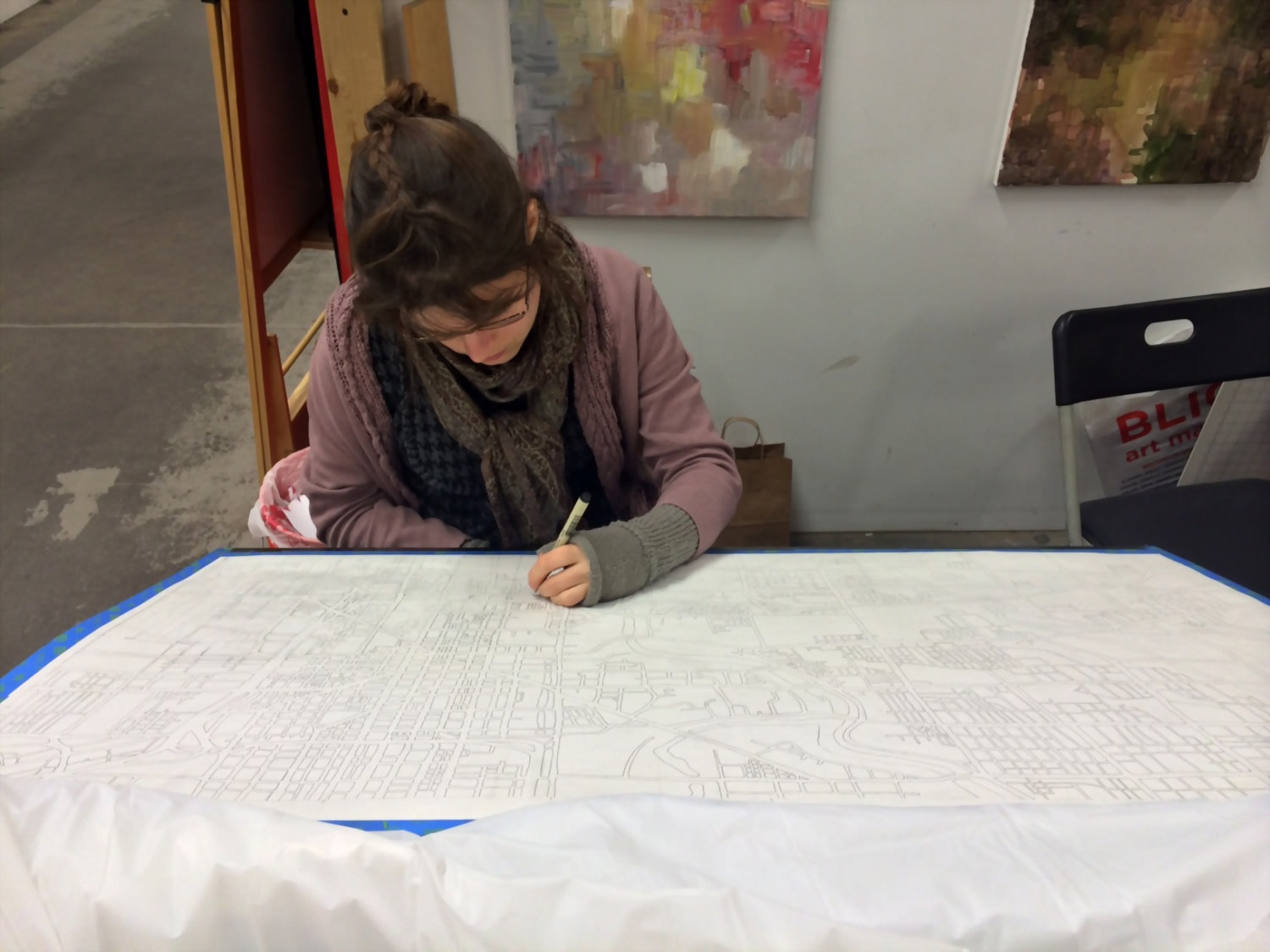
Here’s me inking late into the night:
And here’s what the large-scale drawing looked like in the end, after tons of work: 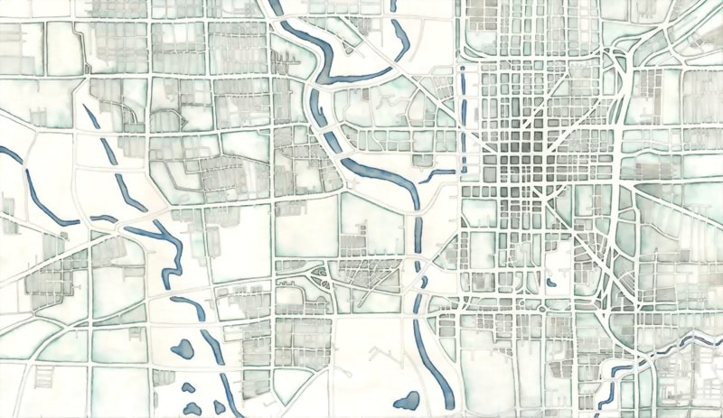
I did some post-processing after that (made it greyscale and greatly increased the contrast) so it looked more like the sketch. The final product will be a large-scale print for a hotel room, so the final deliverable is just a digital file (but the biggest digital file I’ve ever worked with!). And now I have a 40″x23″ watercolor drawing of Indianapolis adorning my studio room.