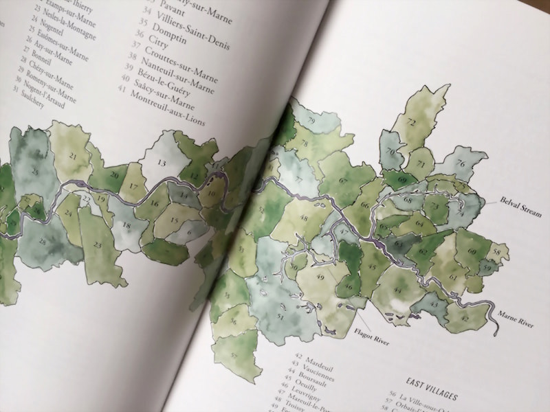
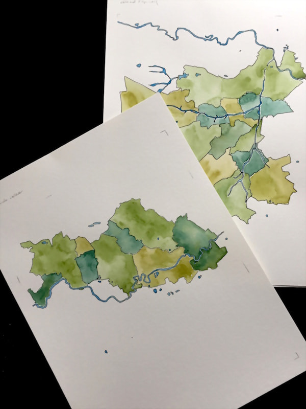
I was approached by Ten Speed Press (part of Penguin Random House) to draw maps for a book project on the topic of Champagne. They were specifically interested in a set of maps detailing the different areas where the grapes are grown, and their geographic features.
The project initially required a few sets of sketches before we came to a solution that incorporated the level of information they were looking for while still focusing on the craft and texture of the maps.
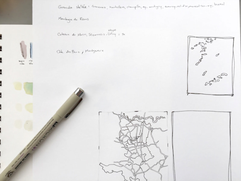
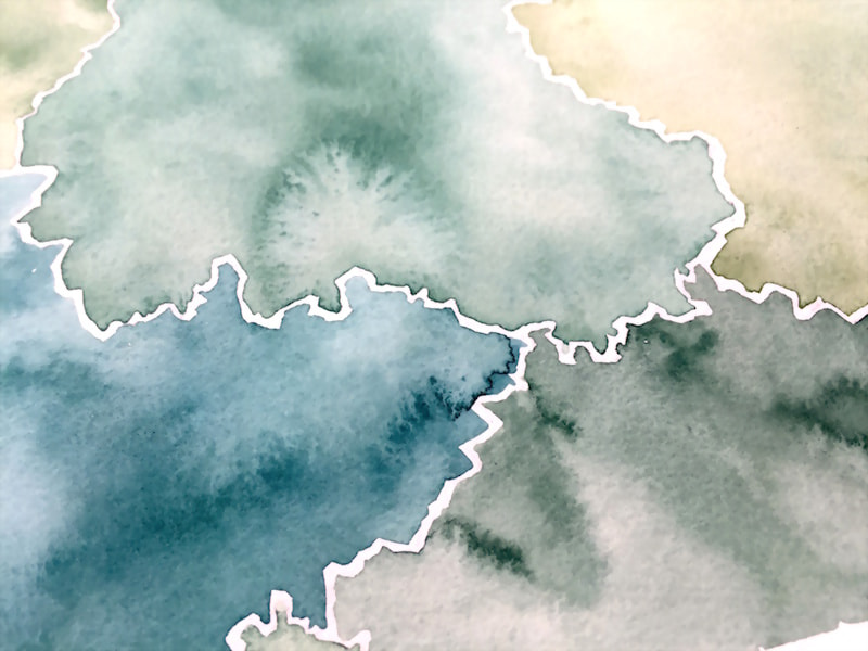
This was one of the most didactic projects I’ve been contracted to do. My niche is typically abstract maps that evoke the geography of a place for aesthetic scene-setting purposes, but for this I had to balance clarity and legibility of information with aesthetic style.
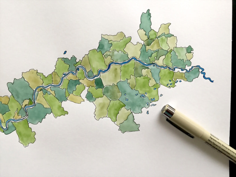
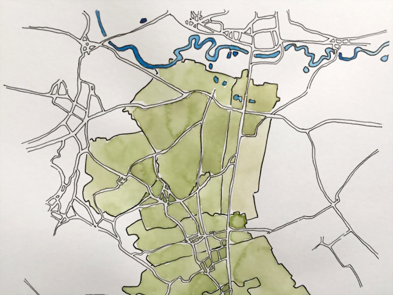
In the end, the project comprised 8 maps (7 different regions and 1 map of how they all fit together). The visual and didactic style was fairly consistent across the 7 regions, despite some fairly large differences in geographic scale, and that style was echoed in the overall map as well.
It was an excellent experience to map something with that much specificity, and I’m glad we were able to work together on it. You can find the finished book on Penguin’s website here.